£ 295.00 / FOR SALE
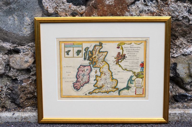
French gilt framed 18th century map of uk & ireland (re framed)
circa 1705
dimensions approx 20" x 16" (inches)
(This item is stocked in our Ballinderry shop - location map)
For reference SKU code is 15724

French gilt framed 18th century map of uk & ireland (re framed)
circa 1705
dimensions approx 20" x 16" (inches)
(This item is stocked in our Ballinderry shop - location map)
For reference SKU code is 15724


We are always getting new Paintings, Pictures and Art stock in, however if there is something in particular that you are interested in, give us a call on +44(0)28 9265 1046 or use the enquiry form on our contact page. Don't forget we ship outside of the United Kingdom & Ireland to Europe, USA, South Africa, China in fact we ship worldwide