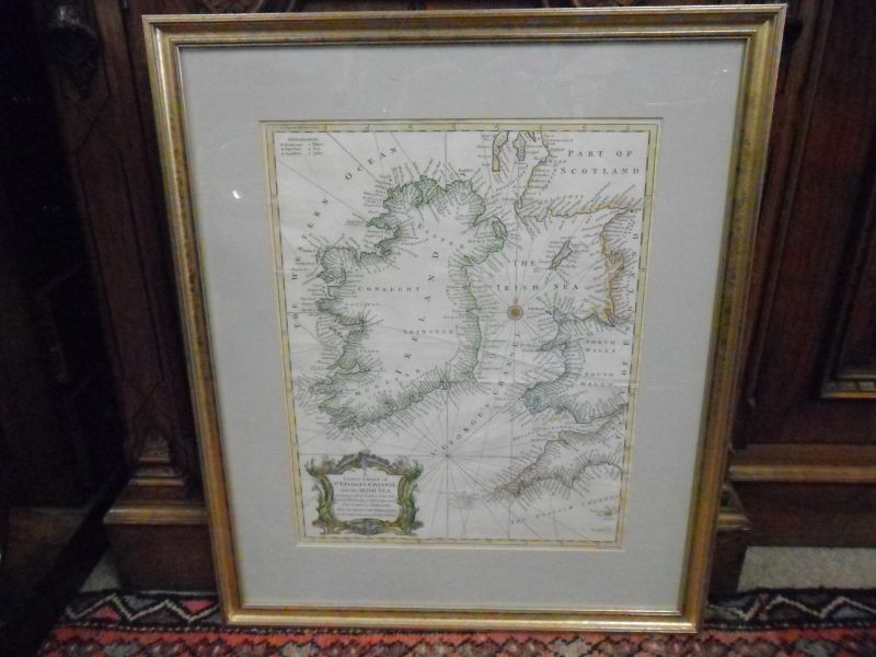
18th century Irish Map

18th century Irish Map

£ 465.00 / FOR SALE


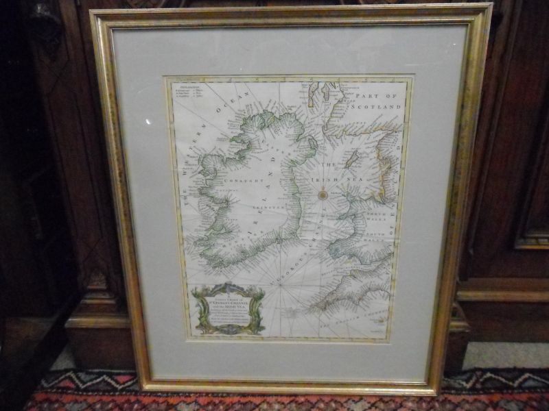
18th Century Irish Map

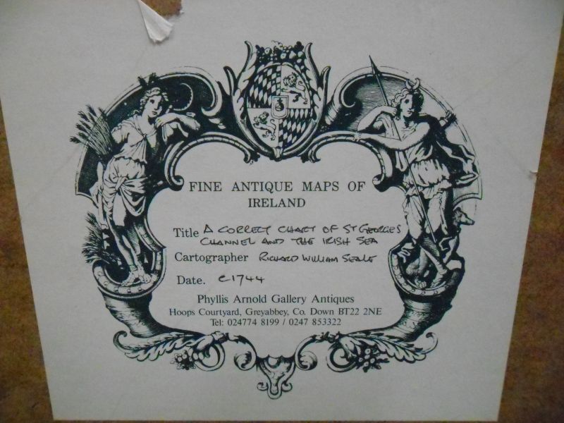
Circa 1740

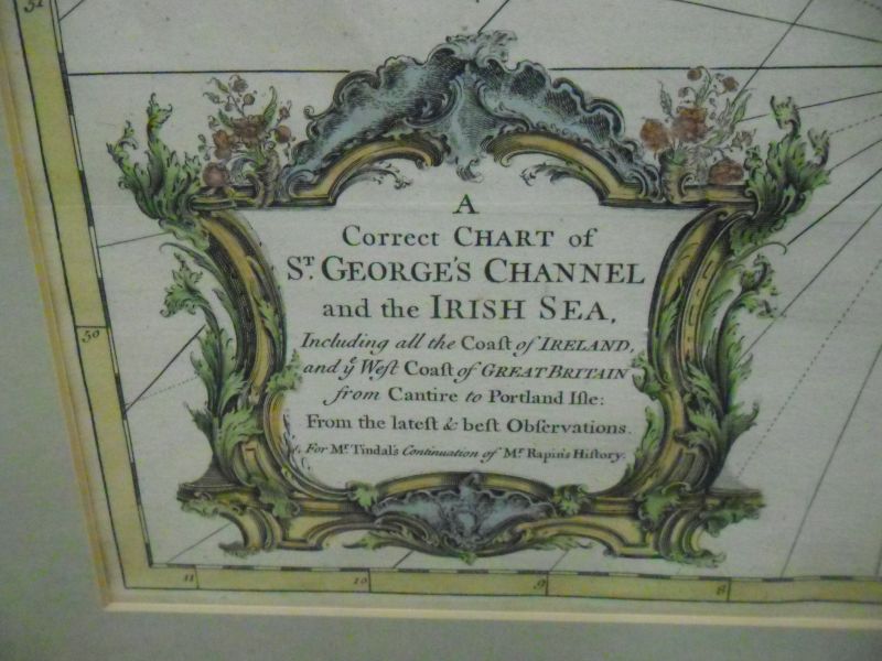
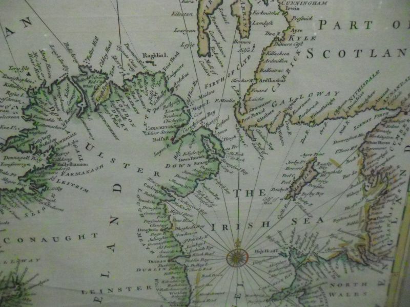
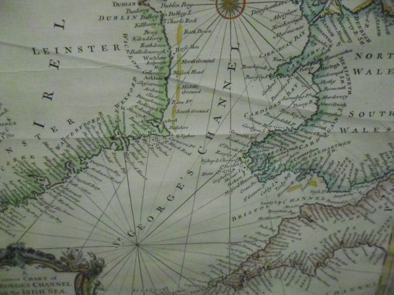
A correct chart of St Georges Channel & the Irish Sea.

Dimensions appox 22 1/2" x 27" to outside of frame

15 " x 18 1/2" to inside of mount

(This item is stocked in our Oakland shop in Belfast - location map)

For reference SKU code is 7851
18th century Irish Map Thumbnail 1
icon
18th century Irish Map Thumbnail 2
icon
18th century Irish Map Thumbnail 3
icon
18th century Irish Map Thumbnail 4
icon
18th century Irish Map Thumbnail 3
icon
18th century Irish Map Thumbnail 6
icon

Enquire about this item


image

Other items you might be interested in...

Ireland, UK, Europe & Worldwide

We are always getting new Paintings, Pictures and Art stock in, however if there is something in particular that you are interested in, give us a call on +44(0)28 9265 1046 or use the enquiry form on our contact page. Don't forget we ship outside of the United Kingdom & Ireland to Europe, USA, South Africa, China in fact we ship worldwide